Parent Pages
Sibling Pages
Child Pages
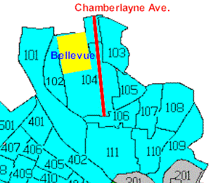
Bellevue lies at the very north end of Richmond, Virginia, just south of the Henrico County line. Click the MapBlast logo to see a map of the area:

The neighborhood is roughly a mile long by half a mile wide, bounded on the east and west by Brook Road and Hermitage Road, and on the north and south by Westbrook Avenue and W. Laburnum Avenue. There are stoplights at all four corners, and at each end of Bellevue Ave., which bisects the neighborhood half way between Laburnum and Westbrook. There are no stoplights within the neighborhood. We have a small commercial district (cyan on the map) on the south side of the 1200 block of Bellevue Ave and a larger one (also cyan) on both sides of the 4000 block of MacArthur Ave..
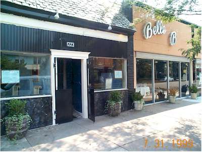
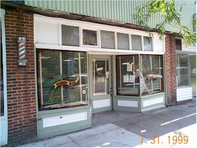
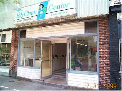
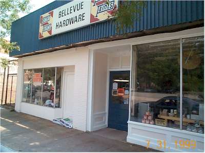
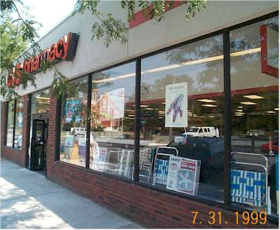
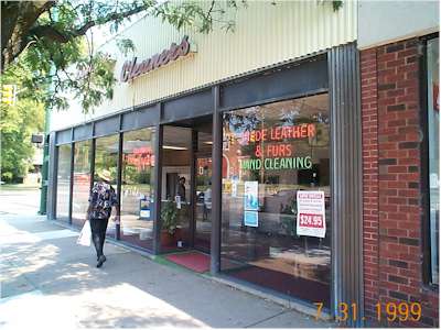
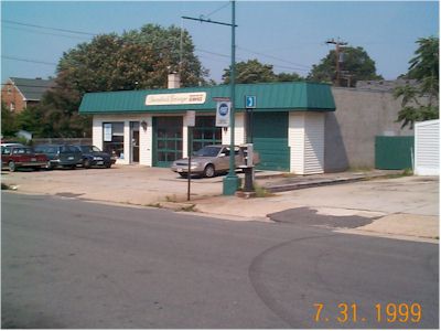
The block on Bellevue contains the Belle B restaurant, the Bellevue Barbershop, the Laundromat, the Bellevue Hardware Store, the CVS drugstore, and the Bellevue Laundry (click on any thumbnail to see the full-size picture).


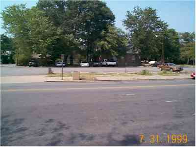
Across Bellevue from the stores is a small parking lot (containing only a few shade-seekers on the July day these photos were taken).
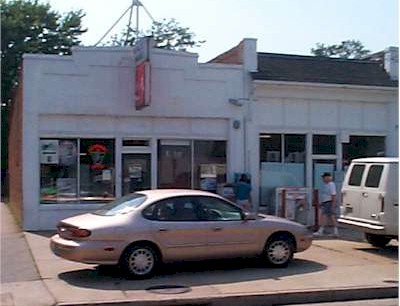
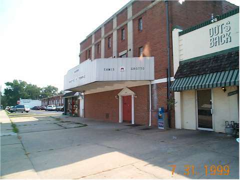
The 4000 block of MacArthur avenue contains Nuttall's Grocery, Dot's Back and Shenannigans restaurants, and Zorba's take-out restaurant.


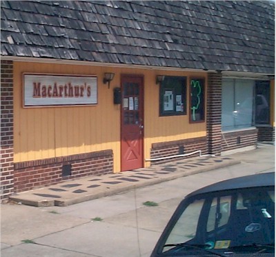
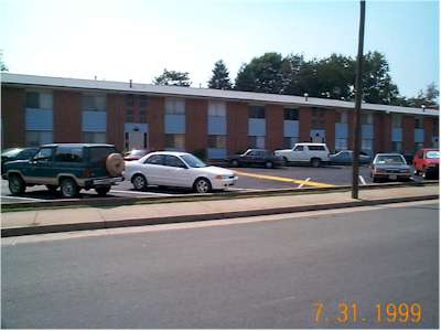
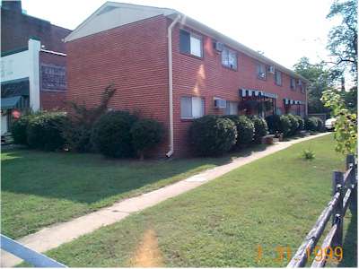
The 4000 block also contains Decatur's Garage, the MacArthur Apartments, the Shirley Manor Apartments, the little apartments that seem to have no name, and, in the old theater, the Samis Grotto.


Not pictured here are Lauterbach Electric and Tradewinds Electric. There also is some unrented commercial space on MacArthur, more than we would like.
Otherwise, the neighborhood is single-family residential, with a few duplexes. We total about 1300 homes and 2600 people. Follow the link to see some photos taken in the fall.
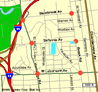
We have easy access to I-64, I-95, the Downtown Expressway, and the Powhite Parkway. Downtown is ten minutes away on Brook Road, I-95 S, or the Downtown Expressway.
The 1990 Census provides information about the area.
Chamberlayne Avenue runs parallel to the neighborhood, just two blocks east.
City Council has zoned this artery into a sewer of crime and disorder in the middle of an otherwise quiet neighborhood.
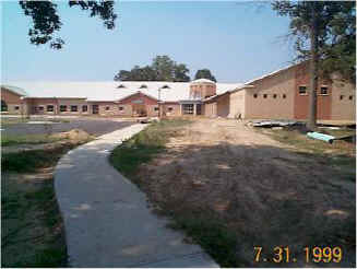
Formerly the Thirteen Acre School property at Hermitage and Laburnum housed a small, special ed unit in the old house, while the property served as a neighborhood park.
The School Board cut down most of the trees at 13 Acres to build the new Lynwood Holton elementary school (seen here from the Laburnum Ave. end as the construction neared completion in July, 1999).
At the time the Richmond schools had sufficient capacity and a declining enrollment so we're not sure why they took our park. We have SOL scores from Holton.
These web pages contain other data about the neighborhood and the Bellevue Civic Association. We also have photo galleries showing:
- Fall in Bellevue
- The 2001 SunTrust Marathon in Bellevue
Maps Courtesy


Last updated 02/24/02
Please send questions or comments to John Butcher